San Mateo County Parks Map

Text & Photos by Sharron L Walker
The one-mile Weiler Ranch Trail begins at the San Pedro Valley Visitor Center. It is relatively level, multiple use (bicycle, equestrian and hiking), and wheel chair accessible.
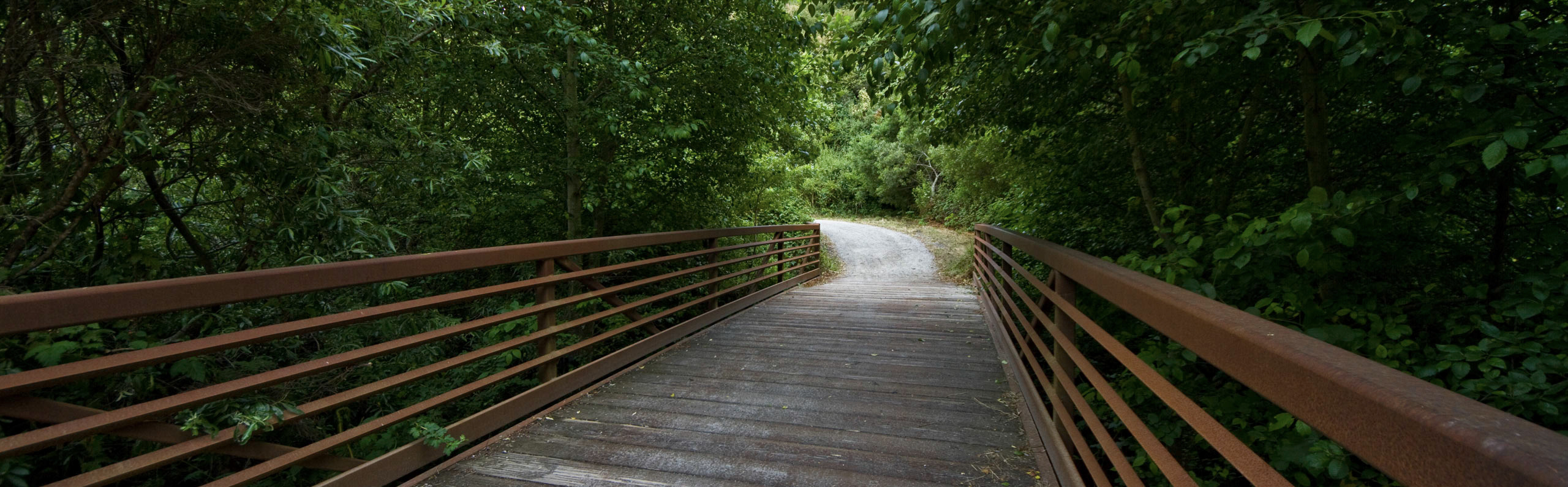
 Leaving the Visitor Center, the trail heads towards the Walnut Grove Picnic area. En route it crosses the bridge over the south fork of San Pedro Creek. With luck, a steelhead trout may be spotted through the riparian, or streamside, growth that provides ideal habitat for creek dwellers. During the spring and summer a variety of wild flowers can be spotted along this part of the trail such as sticky monkey flower, coyote mint, California blackberry, and more, and more. The picnic area is shaded by several types of trees to include coast live oak, buckeye, and walnut. Depending on the time of year, the area is visited by deer, rabbits, bobcats, foxes and occasional coyotes as well as a variety of birds. Commonly seen throughout the year are wrentits, spotted towhees, scrub jays, quail and others that are residents as well migrating transients.

Continuing beyond the picnic area, a bridge crosses the middle fork of San Pedro Valley Creek, although the creek is barely visible due to dense vegetation. Just beyond the bridge and before the horseshoe area the trail offers two choices. One is to continue on the wide main trail toward the east and back of the valley. At this intersection the Valley View Trail takes off to the left, up the hill towards a stand of eucalyptus trees. The other choice is to take a well-worn path that hugs the riparian growth and eventually joins the main trail. This is the 0.4 mile point of the trail.

Although the trail parallels the middle fork of San Pedro Valley Creek, the creek is not visible, but the adjacent grassland or meadow on the south side is, and a favorite grazing area for deer. Keep an eye out for rabbits, pocket gophers, garter snakes, and occasional bobcat that may be on the prowl, especially in the early or later part of the day. Also, butterflies and wildflowers: California poppies, blue-eyed grass, common aster, cow parsnip and more can be seen as well as a variety of birds, including and great horned owls and red-tailed hawks visiting the open space looking for prey. The Valley View inter-sects the trail once again along side the meadow.

Hikers, runners, bicyclists frequent this trail. There are several benches that offer spots to enjoy the beauty of the valley and surrounding hillsides. The trail crosses the creek again; at this bridge although the alder trees and arroyo willows shade the creek, the water is visible and allow a possibility to see riparian wildlife and vegetation. Shortly beyond the bridge off to the right is the 3.7 mile Hazelnut Trail.

San Mateo County Parks Map

San Mateo County Parks Map

San Mateo County Parks Map
